Mangano Unveils South Shore Blueway Trail Plan
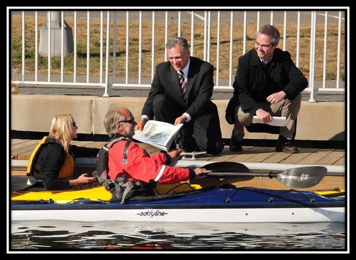
Pictured (left to right) are: Gabby and Michael Fehling of Empire Kayaks; County Executive Mangano showing the South Shore Blueway Trail; and South Shore Blueway Trail Committee Chairperson Kyle Rabin.
Nassau County Executive Edward P. Mangano was joined today by the NYS Department of State Office of Coastal, Local Government and Community Sustainability, South Shore Blueway Trail Committee, Going Coastal, Inc., and Cameron Engineering & Associates as they unveiled a draft plan for the proposed South Shore Blueway Trail. The trail will establish a miles-long kayak trail through the beautiful marshes and bays on Nassau's south shore.
“The South Shore Blueway Trail will shine a light on the precious wetlands of Nassau County and provide kayak access never before seen in this region,” said County Executive Mangano. “I am proud to partner with our local environmental organizations and municipalities to create a true jewel for Long Island.”
The plan is the result of a collaborative effort process which identified access points and gaps for additional further kayak access. Designed by Going Coastal, Inc. and Cameron Engineering & Associates, LLP the South Shore Blueway Trail will serve as an outline for the development, implementation, maintenance and use of the South Shore Blueway Trail.
The plan for the South Shore Blueway Trail began to take shape when it was included in the 2006 Environmental Bond Act. Planning officially began approximately one year ago. In November 2008, the Village of Freeport joined with Nassau County to obtain matching funds from a Local Waterfront Revitalization Grant from the New York State Department of State under Title 11 of the Environmental Protection Fund.
A water trail is a route along a waterbody for people using small non- motorized, beachable boats like kayaks, canoes, day sailors or rowboats linked by various launches, rest stops and shoreline facilities that support water travel and the variety of natural, cultural and historic resources a boater encounters along the way.
A key element of the new South Shore Blueway Trail Plan is sustainable, using green technologies for paths, ramps or any other item which may need to be constructed. The access points will also be ADA compliant. The plan also provides for interpretive and educational opportunities that will encourage understanding of the south shore ecosystem and maritime heritage.
The proposed South Shore Blueway Trail Plan, trail map and launch site design concepts are available on the project website, www.southshoreblueway.com.
The public is invited to share their comments both online and during a community discussion November 14, 6:00 p.m. at the Freeport Village Hall Conference Room, located at 46 N. Ocean Avenue, Freeport, New York 11520. Participants at the public meeting will have the opportunity to ask questions or provide comments on the proposed plan. During the 30- day comment period, which concludes on November 21, people can also submit questions and comments to info@southshoreblueway.com.
